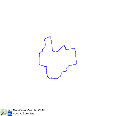
Tour 2 - Stiftsdörfer-Route (Rundtour ab Harsum oder Algermissen)
operating instructions
Various functions are available as part of the map.
mouse/touch operation
- moving by grabbing the map with a mouse-click you can move the map around
- overview map using the + button in the bottom right of the map you can expand an overview map
- zooming in and out using the + and - buttons in the top left of the map you can obtain more or less detail in the map
- switching themes or maps clicking on the ≡ icon on the right-hand side of the map you can view and select available maps and themes
- retrieving information the map may contain elements that contain more information, by clicking these a popup will show this information
- fullscreen display using the ✈ button the map can be maximized to fullscreen display, use the ✕ button to return to page display.
keyboard operation
Keyboard operation becomes available after activating the map using the tab key (the map will show a focus indicator ring).
- moving using the arrow keys you can move the map
- overview map using the + button in the bottom right of the map you can expand an overview map
- zooming in and out using the + and - buttons in the top left of the map or by using the + and - keys you can obtain more or less detail in the map
- switching themes or maps clicking on the ≡ icon on the right-hand side of the map you can view and select available maps and themes
- retrieving information the map may contain elements that contain more information, using the i key you can activate a cursor that may be moved using the arrow keys, pressing the enter will execute an information retrieval. press the i or the escape key to return to navigation mode
- fullscreen display using the ✈ button the map can be maximized to fullscreen display, use the ✕ button to return to page display.
It's possible that some of the functions or buttons describe above have been disabled by the page author or the administrator

| id | symbol | latitude | longitude | description |
|---|---|---|---|---|
 |
 |
GPX track: ilek-tour 2 | ||
Diese rund 25 km lange Route startet in der Gemeinde Harsum und führt Sie - auf größtenteils gut ausgebauten Wegen - durch insgesamt sechs Bördedörfer, deren Gemarkungen (mit Ausnahme Asel) alle an das idyllische Flüsschen „Bruchgraben“ grenzen. Namensgeber für diese Erlebnistour sind die sehenswerten Kirchen St. Matthäus in Algermissen, St. Martinus in Borsum und St. Cäcilia in Harsum. Diese beeindruckenden Gebäude sind Zeugen der langen Zugehörigkeit der Dörfer zum Hochstift Hildesheim und geben Ihnen einen Einblick in verschiedene bauhistorisch bedeutsame Epochen. Aber auch die alten Bauernsiedlungen Rautenberg und Bründeln in der Nähe der Clauener Zuckerfabrik bestechen durch ein beschauliches Ortsbild und lohnenswerte Rast- und Ausblickmöglichkeiten. Das Dorf Asel südlich von Harsum überzeugt durch seine Naturdenkmale die Grafeneiche und das Schwarzerdeprofil, der einzige Boden, der in Niedersachsen als Naturdenkmal ausgewiesen ist. Der auf diesem fruchtbaren Boden angebaute Weizen wurde zu seiner Zeit in der Aseler Paltrockmühle, die zu jeder Jahreszeit einen Besuch wert ist, zu Mehl gemahlen.