Nord-Ost-Erlebnisroute (Rundtour ab Hohenhameln oder Rethmar)
operating instructions
Various functions are available as part of the map.
mouse/touch operation
- moving by grabbing the map with a mouse-click you can move the map around
- overview map using the + button in the bottom right of the map you can expand an overview map
- zooming in and out using the + and - buttons in the top left of the map you can obtain more or less detail in the map
- switching themes or maps clicking on the ≡ icon on the right-hand side of the map you can view and select available maps and themes
- retrieving information the map may contain elements that contain more information, by clicking these a popup will show this information
- fullscreen display using the ✈ button the map can be maximized to fullscreen display, use the ✕ button to return to page display.
keyboard operation
Keyboard operation becomes available after activating the map using the tab key (the map will show a focus indicator ring).
- moving using the arrow keys you can move the map
- overview map using the + button in the bottom right of the map you can expand an overview map
- zooming in and out using the + and - buttons in the top left of the map or by using the + and - keys you can obtain more or less detail in the map
- switching themes or maps clicking on the ≡ icon on the right-hand side of the map you can view and select available maps and themes
- retrieving information the map may contain elements that contain more information, using the i key you can activate a cursor that may be moved using the arrow keys, pressing the enter will execute an information retrieval. press the i or the escape key to return to navigation mode
- fullscreen display using the ✈ button the map can be maximized to fullscreen display, use the ✕ button to return to page display.
It's possible that some of the functions or buttons describe above have been disabled by the page author or the administrator
| id | symbol | latitude | longitude | description |
|---|---|---|---|---|
 |
 |
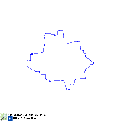
GPX track: ilek-tour 4 | ||
Auf dieser ca. 37 km langen Erlebnisroute durch den Nordosten der Börderegion bleibt der Spaß beim „Radeln“ durch die verschiedenen Eindrücke und dem Genuss des ländlichen Flairs gewiss nicht aus. Startpunkt ist die Ortschaft Hohenhameln. Insbesondere das Naturfreibad „Pfannteich“ mit einer Minigolfanlage ist hier für Familien mit Kindern einen Abstecher wert. Aber es warten noch viele weitere Attraktionen, Sehenswertes und Freizeitmöglichkeiten am Wegesrand auf Sie, die Ihre Aufmerksamkeit verdienen. Durch das Dorf Harber am Naturdenkmal „Eiche“ vorbei führt die Fahrradroute nach Groß Lobke, wo Sie sich im örtlichen Grammophonmuseum über die Geschichte der Schallplatte informieren können. Allemal lohnend ist zudem die Besichtigung der gotischen Bruchsteinkapelle in Ummeln, bevor Sie sich auf den Weg nach Sehnde, am Stichkanal entlang, begeben, um dort beispielsweise die Bolzumer Schleuse zu erkunden. Dem Streckenverlauf durch die Ortschaft Rethmar mit dem sehenswerten Gutshof folgend erreicht man über ein kleines Wäldchen die denkmalgeschützte Fachwerkkapelle in Dolgen. Anschließend bieten sich schöne Ausblicke an der Kanalbrücke bei Mehrum oder Sie legen, nachdem Sie die Ortschaft Equord mit dem „Kleinen Petersdom“ und dem Rittergut im Hintergrund durchquert haben, eine kleine Verschnaufpause am Rastplatz an der Eiche zwischen Equord und Stedum ein. Danach radeln Sie über das kleine Dörfchen Ohlum mit seinem idyllischen Dorfteich zurück nach Hohenhameln.